Tracing the U.S. / Mexico Border Wall
This article was suggested by Taquista Ito Romo.
By Hillary Mushkin, kcet.org
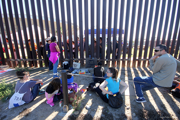
Last November, a group of artists, art historians, students, a U.S. veteran, and others gathered to sketch, walk along and otherwise metaphorically trace the U.S. Mexico border wall. With armfuls of drawing supplies, we hiked 1.5 miles through San Diego’s Border Field State Park to reach a mesa with a scenic view of the ocean and hills bisected by the wall. Our destination that day is at once a line on a map, a survey marker on the ground, a series of GPS coordinates, a row of two metal fences identifying two distinct states with their own military forces and governments. It marks the place where the most southwestern edge of the U.S. touches Mexico. Incendiary Traces went to draw this border line as part of its continued investigation of the links between landscape and seemingly remote international conflict, as well as the role of drawing in establishing national identity.
Click HERE to read the full story.
[Photo by Maria Teresa Fernandez]